Our teams conduct full project analysis to determine both financial and economic viability of projects. This helps clients – both in the private and public sector – to determine project affordability and make successful investment decisions. Private sector clients have their focus on financial returns while public sector clients are adamant about value for money. To this end, we conduct full due diligence including financial modelling and cost benefit analysis, as well as full risk analysis while we help clients identify revenue streams in the process. This eases sound decision-making in the built environment, helping projects remain on top of commercial, technical as well as operational issues.
We challenge clients to interrogate the following questions:
Do projects tie with public policy targets?
Do they deliver intended financial and economic outcomes?
Do projects assure financial and commercial feasibility?
Can the client afford the project in the long run?
Will the project be affected by changes in public policy and markets movements?
What is the procurement and commercial model to deliver a project?


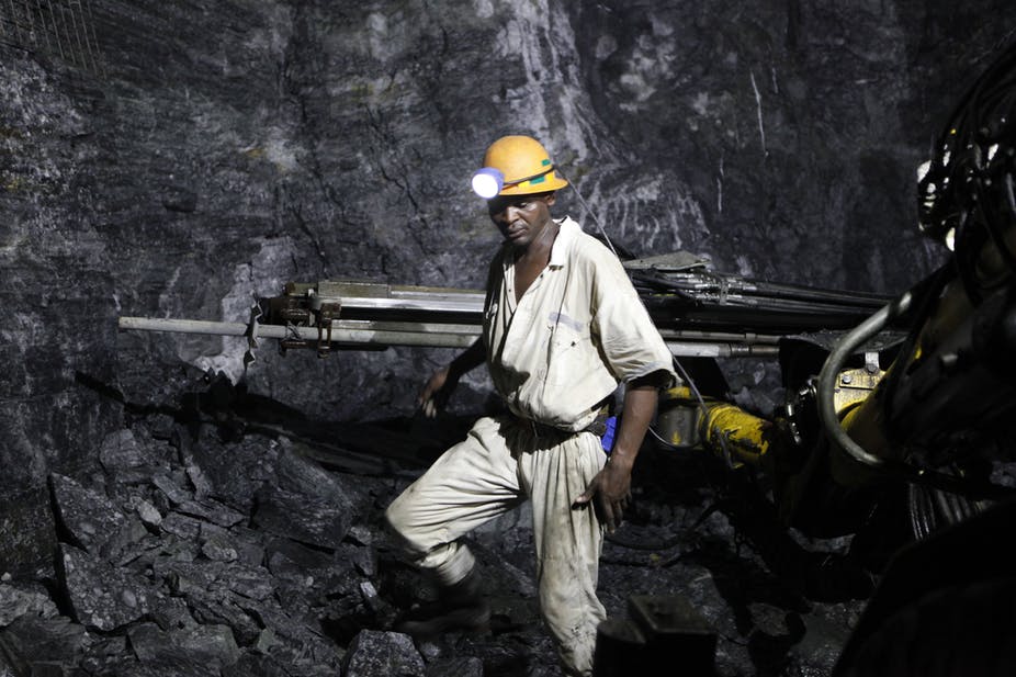 Mining
 Corporate
 Procurement